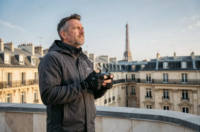
Aerial photography applied to Parisian real estate faces a major constraint: the area within the city limits is classified as a permanent restricted zone LF-P23, renewed by decree on April 2, 2025. Flying a drone over the capital to photograph an apartment is, unless in exceptional cases, subject to regulatory prohibition.
This peculiarity shapes a local market where aerial views do exist, but take indirect paths compared to the rest of France.
Zone LF-P23: why drones remain prohibited over Paris
Since January 1, 2026, a decree from December 23, 2025, allows professional overflights of urban areas in the open category, subject to prior declaration at the prefecture. Real estate professionals in the provinces can now order drone shots under simplified administrative conditions.
Paris is an exception. The LF-P23 zone covers the entire city within the limits and prohibits any civil drone flight, except for exceptions processed over several weeks. Obtaining an overflight authorization in Paris takes much longer than a standard real estate transaction. The few exceptions granted concern institutional filming or public safety missions, not showcasing a two-room apartment in the 11th arrondissement.
Professionals working on the outskirts of Paris, on the boulevards des Maréchaux or in the inner suburbs, can, however, organize flights under certain conditions. This geographical boundary creates an asymmetry: a property located in Boulogne-Billancourt can benefit from a drone view, while a comparable property at the Porte d’Auteuil cannot.
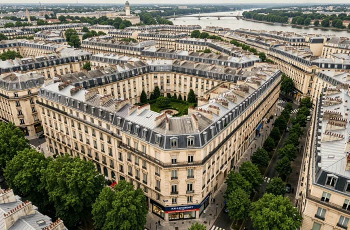
Parisian agencies wishing to offer aerial views to their clients find more information on parisvudavion.com, where the aerial perspective is approached from a viewpoint adapted to local constraints.
Alternatives to drones for aerial views in Paris
The drone prohibition has not eliminated demand. It has shifted solutions towards other technologies.
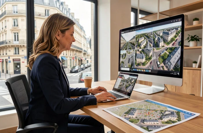
- Orthophotos and high-resolution satellite views allow for situating a property within its urban environment without overflight. Annual coverage of the metropolitan area, such as that planned for 2026 by the Dinamis program, provides usable images to contextualize a neighborhood.
- Urban 3D models reconstructed from cadastral data and LiDAR surveys offer a volumetric representation of the surroundings. They allow for visualizing sunlight exposure, the height of adjacent buildings, and the density of construction around a lot.
- Shots taken from high points (rooftops, upper floors of neighboring buildings) remain the most direct way to obtain a bird’s-eye view without violating air regulations.
None of these alternatives replace the flexibility of a drone piloted on-site. However, they meet a specific need in the Parisian market: to show the environment of a property, not just its walls.
Cost of drone services in Île-de-France outside the restricted zone
In the inner and outer suburbs, where overflight is permitted, the market for drone services for real estate has become structured. Prices for aerial photo and video capture of a residential property vary according to the size of the land, the complexity of the flight, and the necessary authorizations.
Specialized providers in Île-de-France generally charge for the service by the half-day, with a package that includes the prefectural declaration, piloting, and image processing. The cost of a drone service remains significantly lower than that of a helicopter overflight, which was the only professional option a decade ago.
For new programs in VEFA, developers use drones at several stages: construction monitoring, marketing from plans, and then showcasing the delivered program. This recurring use allows for negotiating volume rates, making the service accessible even for modest-sized operations.
What drones change in the perception of a property
The aerial view alters the hierarchy of selection criteria. A buyer consulting a standard listing evaluates the area, layout, and price per square meter. The drone view adds a layer of information that is difficult to convey otherwise: the proximity of a noisy road, the presence of a green space fifty meters away, the actual density of the urban fabric around the property.
This transparency works both ways. A property located in a pleasant environment gains attractiveness. A property surrounded by unappealing infrastructure loses the benefit of doubt that interior photos could maintain.
Drone regulations and real estate: what applies to professionals in 2026
The decree of December 23, 2025, clarified the framework for flights in urban areas, but the system remains restrictive for real estate professionals.
- The remote pilot must hold a European license (minimum A2 category for flights near people).
- A prior declaration at the prefecture is mandatory, with processing times varying by department.
- Overflights of classified areas (historical monuments, protected sites) add additional restrictions, which are common in Île-de-France.
- Specific drone liability insurance is required for any commercial service.
Field feedback varies on the fluidity of the administrative process. Some providers report processing times of a few days in the outer suburbs, while others mention several weeks in the most sought-after departments. The administrative burden remains a barrier for agencies that would like to systematically use drones for every mandate.
The Parisian real estate market is adapting to these constraints through a mix of alternative technologies and drone services in the periphery. The LF-P23 zone prevents any normalization of drone use in Paris itself, which maintains a clear gap between the capital and the rest of France in terms of aerial real estate photography.